Note: When hiking to this area please be respectful of the site. Two people died in this crash. Rethink that selfie. Thank you!
I never knew that there are close to 54 plane crash sites located in the Smoky Mountains. We hiked to one of them recently:
The Plane Crash:
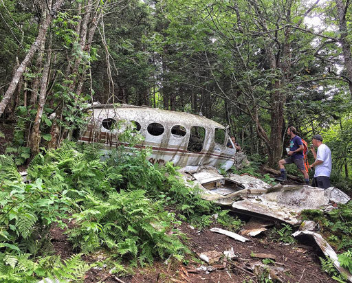
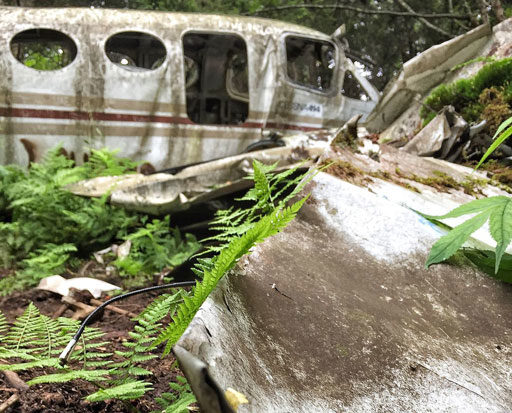
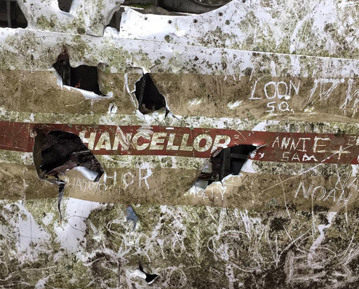
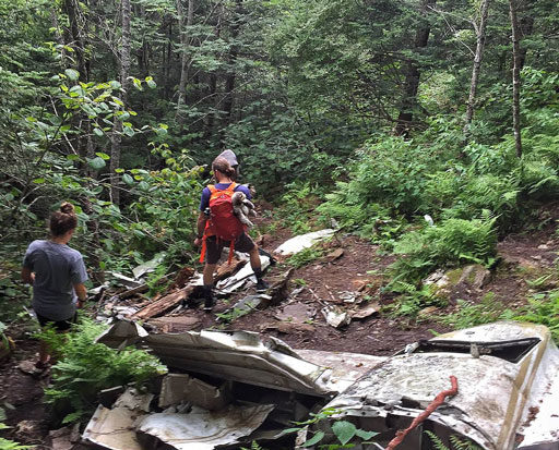
The wreckage of this particular plane crash has been sitting there for 35 years:
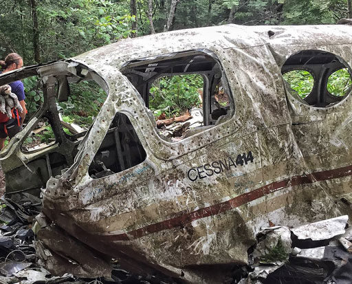
The story goes that on November 24, 1983, a Cessna 414 was flying from West Chicago to the Jackson County Airport here in the NC mountains. It crashed a little before 6pm at about 6,000 feet. Neither the pilot nor passenger survived. The cause of the crash was determined to be a combination of weather conditions/poor visibility and alcohol (the pilot’s blood alcohol level was 0.04%). I don’t think a flight plan was filed…which means the pilot may have just been flying by sight and ducking under clouds. The plane could have made it over the mountain if it had just been about 150 feet higher.
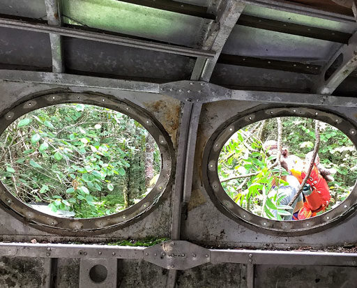
The crash site was eerie, especially knowing that my dad was piloting a similar plane in the 1990s and survived a crash. Here on the mountain side, seats and wreckage were scattered all over the steep terrain.
I couldn’t find any engines at the site and after a little research it turns out that they were salvaged soon after the crash. I’d still like to find some old newspaper articles on the crash if they exist…and know more about the people who died here.
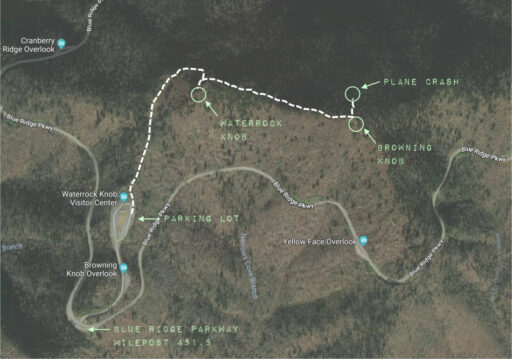
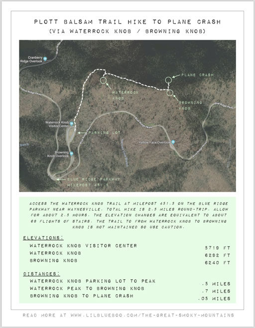
The hike to the plane crash is about a 2.5 mile round-trip hike, first up to Waterrock Knob and then across the ridge to Browning Knob.
Waterrock Knob:
Waterrock Knob is one of my favorite hikes and it’s always one that I recommend to visitors. I wrote about it here in 2015.
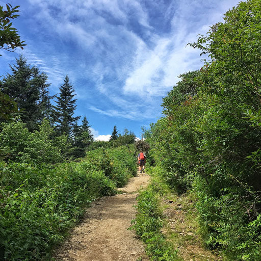
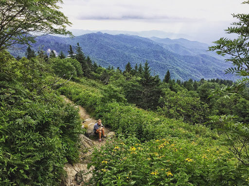
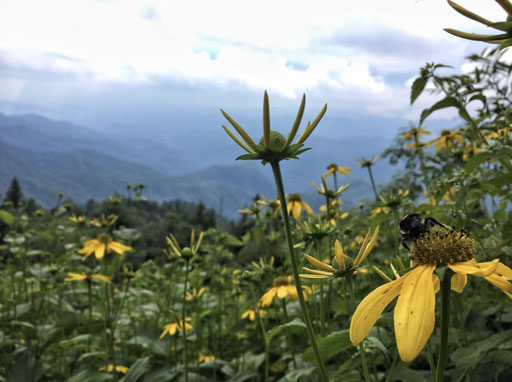
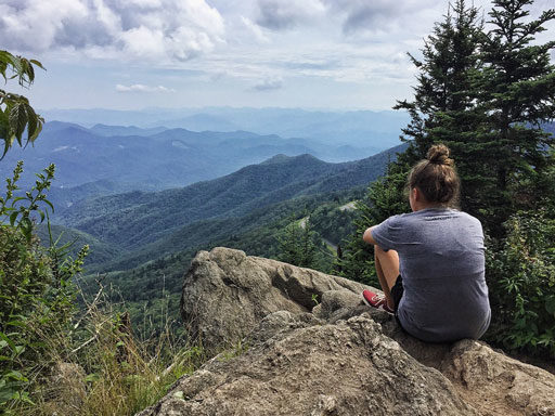
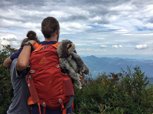
The views are epic and sweeping:
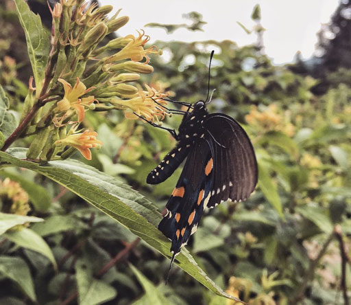
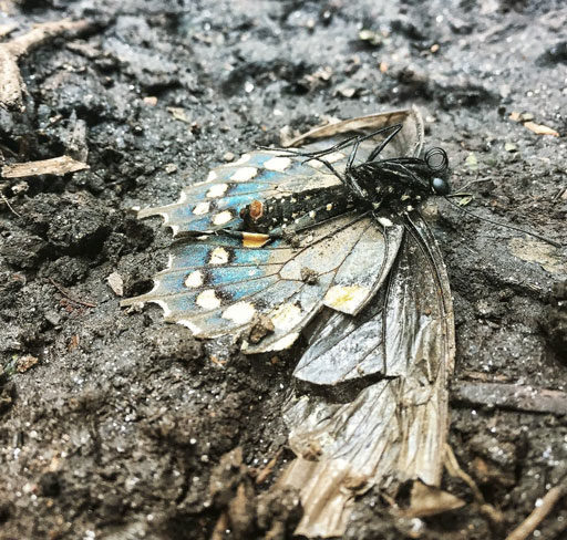
Not only are the views spectacular but the flowers and wildlife are too:
The sides of the trail were covered with butterflies when we went, so many it looked like the mountains were moving:
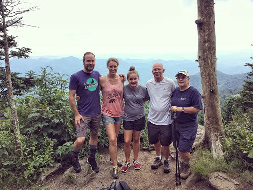
The top of Waterrock Knob:
Browning Knob / Plott Balsam Trail:
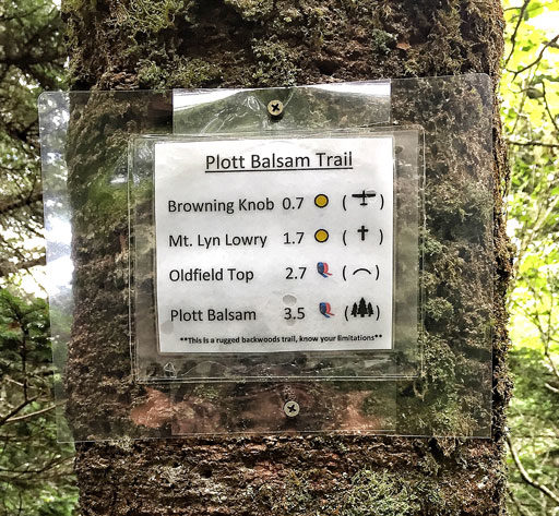
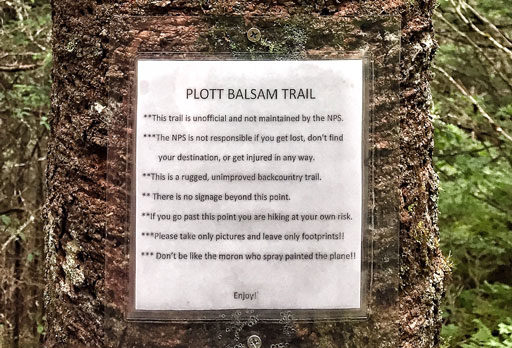
Just as you get to the top of Waterrock Knob you will notice a small unmarked trail to the left…you might even miss it if you weren’t looking for it. I noticed it as a gap in the tall grass at first. If you follow that trail for a little bit you will see a tree with the following signs on it:
Yes, there are warnings…make sure you tell someone where you are hiking just in case! The trail is obviously used often based on the wear but we didn’t see anyone while we were hiking:
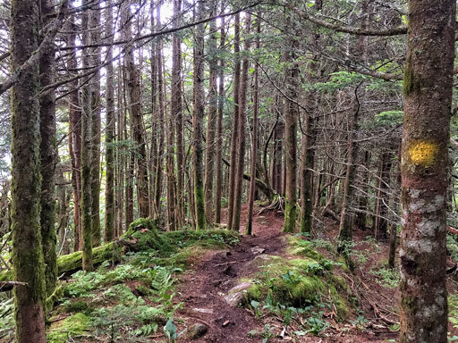
Spraypainted yellow dots help to mark the trail. I usually describe this kind of place as Narnia:
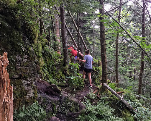
It’s not the easiest hike, but very doable if you can climb over fallen trees and jump across some small mud pits:
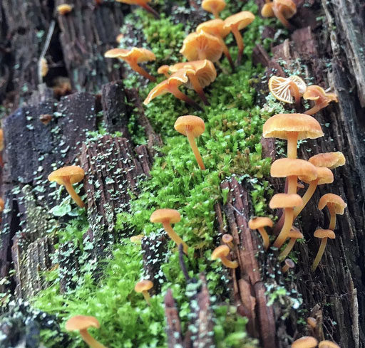
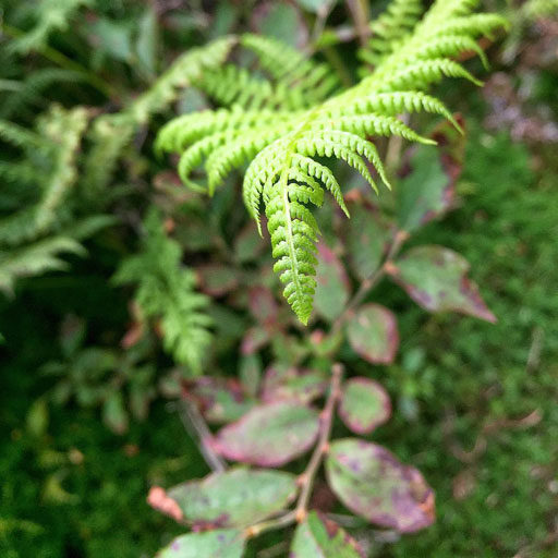
The canopy is pretty thick so the vegetation is mostly ferns, fungi and moss…which I love:
There’s a lot of photograph if you take your time:
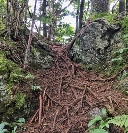
This looked like a waterfall of roots to me….a rootfall?
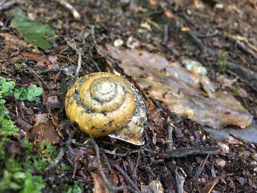
An abandoned shell:
So many ferns:
The hike continues for about .7 miles…along the ridge of the mountain…but with a lot of elevation change (the equivalent of about 68 flights of stairs!) The first half of the hike is straight down the ridge and then you have to hike back up the spine of the connecting knobs. You are at Browning Knob as soon as you start to see the views again:
Once over to Browning Knob, you’ll notice another small unmarked trail to the left. Head down that trail about 100 feet and you should see the plane in the distance down the hill. It’s not very far:
I wouldn’t ever go alone to the crash, or too close to dusk. I’m pretty sure there are some ghosts there. But the hike is definitley one of my favorites. I created this little PDF with some very basic info that’s easy to print off if you are thinking about hiking to the crash…click here or click the image below to download:
Do you have any favorite hikes in the Smoky Mountains? Click here are a few of my favorite places near Bryson City.
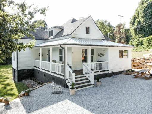
If you’ve never been to Bryson City you need to visit! Stay at our historic Sixty-One Park Farmhouse located right in downtown!